|
|
|
|
|
|
| By Fire Lieutenant Brett Pearce | |
| July 26, 2009 | |
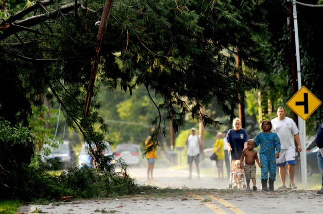
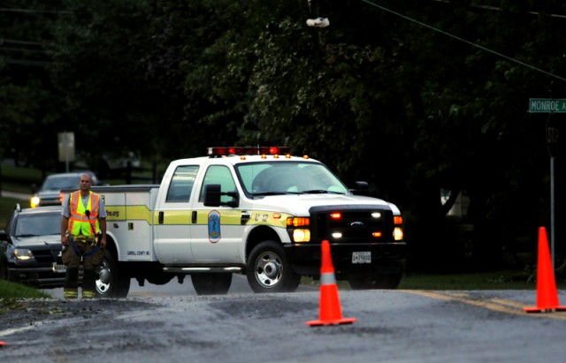
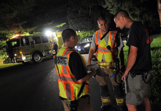
| A severe storm passed through the Eldersburg area Sunday evening bringing damaging winds, lightening, rain, and hale. Several witnesses reported seeing what they thought was a funnel cloud during the passing storm. The first call for service was received at 5:52PM and before the evening was over, emergency crews from the South Carroll area would respond to a total of 39 calls. The most serious of these was a call for a reported tree on a van at the intersection of Liberty Lake Way and Marriotsville Rd #2. Emergency crews arrived to find a large tree on top of a minivan. Neighbors from the area were trying to cut the tree with chainsaws in an effort to extricate 2 children that were trapped in the back of the van. Crews from Rescue Squad 12 began the process of extricating the patients. On scene to assist were crews from Gamber and Community Volunteer Fire Company as well as crews from Baltimore County. Once the patients were extricated they were transported to Johns Hopkins Pediatric Trauma Center in Baltimore. Photos can be seen by visiting http://www.gambervfd.org/ After clearing the accident crews continued to work and respond to calls for wires down, trees on homes, and emergency medical calls. As crews continued responding to calls, Duty 12 began a damage assessment and it was soon apparent that there was a much larger amount of damage to the area then was previously known. Calls immediately went out to Carroll County Emergency Management and the American Red Cross. A command post was established at the Sykesville-Freedom District Fire Department as well as a shelter. Personnel began performing door to door checks of the hardest hit areas. These included, Monroe/Ridge Rd area, Carroll Highlands, Locust Lane/Oak Hill Dr, Oakland Mills Rd, Sandosky Rd/Arrington Rd, Macbeth Way/Brangles Rd. In total, 39 homes were discovered with significant damages. Power lines were down, trees were twisted off at the ground, and people were out walking the streets looking at the damages. In all 2700 people were without power. A report from the National Weather Service (NWS) on Monday morning states "NOT a Tornado, but a Super Cell Thunderstorm with winds at or over 100mph". |
|
| Units: | E123, E124, RS12, TWR12, P128, P129, B125, U12, Duty 12 |
| Mutual Aid: | E131/Duty 13 (Gamber), E461 (Baltimore County), MSP, Carroll Co. Sheriffs Department, County Roads, BGE, American Red Cross. Carroll County Emergency Management. |